
Horticulture and Greening Management Close Range Lidar
Horticulture and Greening Management using close range lidar refers to the application of short range laser sensor detection technology in the planning, monitoring, maintenance, and management of horticultural landscapes and urban green spaces.
Here’s a comprehensive overview of Close Range LiDAR:
What is Lidar?
Close range LiDAR is a high resolution distance sensor using scanning technology that input the distance data of objects. It uses laser pulses to measure distances and generate precise point clouds.
Types
1. Terrestrial LiDAR Sensor: Mounted on tripods or handheld devices.
2. Mobile LiDAR: Integrated into vehicles or backpacks for rapid scanning.
3. Handheld LiDAR Module: Lightweight systems ideal for field use in gardens, parks, and arboreta.
Applications in Horticulture Greening Management
1. Tree and Plant Health Assessment
2. Urban Forestry and Green Space Planning
3. Precision Horticulture
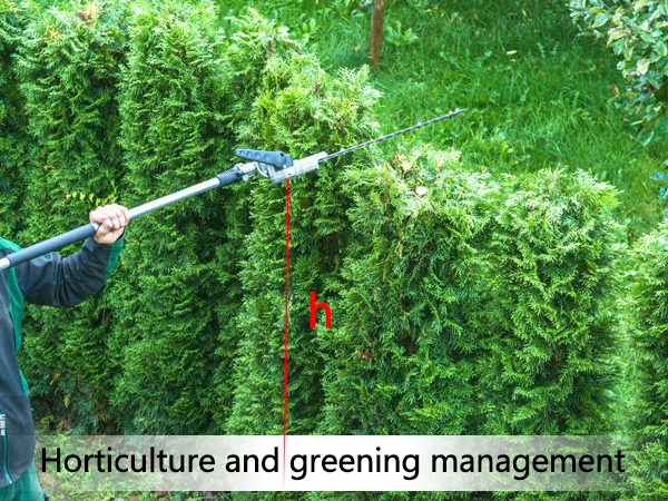
Crop Monitoring: Industrial laser distance sensor tracks plant height in orchards or nurseries with sub-centimeter accuracy.
4. Landscape Restoration and Ecological Monitoring: Compare LiDAR scans over time to monitor vegetation recovery after disturbances.
5. Cultural and Heritage Green Spaces: Precision distance sensor documents historical gardens, arboretums, and heritage landscapes with millimeter-level accuracy for conservation and virtual reconstruction.
6. Risk Assessment and Safety Management: Monitor slope stability in green belts near hillsides or embankments.
Advantages of Close Range LiDAR
1. High Accuracy: Captures fine details.
2. Non-Invasive: No physical contact with plants; safe for sensitive ecosystems.
3. Repeatable Measurements: Enables long-term monitoring with consistent data quality.
4. Data Integration: Easily combined with GIS, drone imagery, spectral data, and machine learning algorithms.
Future Trends
1. AI-Powered Analysis: Machine learning models to automatically classify species, detect pests, or estimate growth from point clouds.
2. Integration with Drones and IoT: Combining aerial and ground-based LiDAR with precision distance sensor networks for real-time monitoring.
3. Cloud-Based Platforms: Web platforms for storing, visualizing, and sharing LiDAR data across teams.
4. Low-Cost Sensors: Development of affordable handheld industrial laser distance sensors lidar devices for widespread adoption in horticulture.
If you’re working on a laser measuring project, Seakeda can help you choose the industrial laser distance sensor!
Post time: Jan-08-2026


