
Mine Service And Engineering Survey Laser Rangefinder Sensor
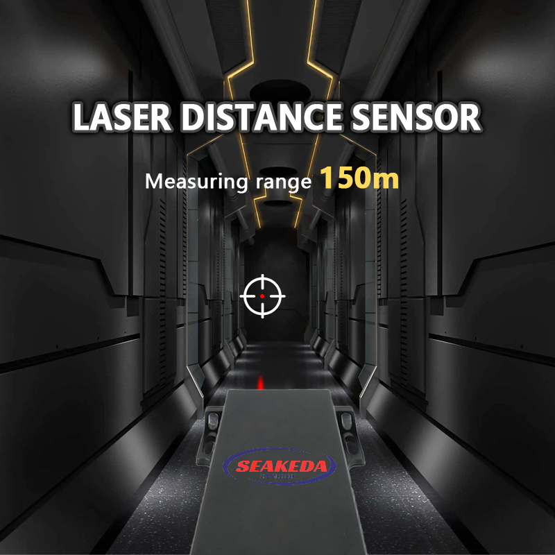
A laser rangefinder sensor is a critical distance measuring tool in both mining services and engineering surveys. It uses phase, pulse or TOF laser technology to measure distances, volumes, and other spatial data with mm high accuracy. Here are some key points about oem laser rangefinder sensors:
Applications in Mining Services:
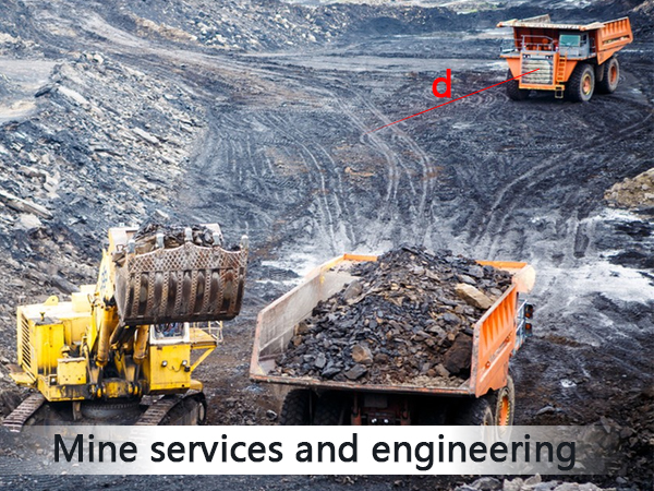
1. Mine Mapping and Surveying:
Underground Mapping: Laser rangefinder module can be used to create detailed 3D maps of underground mines, helping to identify the location of ore bodies, plan extraction, and ensure safety.
Surface Mapping: They can also be used for surface mapping to monitor stockpiles, track the progress of open-pit mining, and assess the stability of slopes.
2. Volume Measurement:
Stockpile Volumes: Accurately measuring the volume of stockpiles is crucial for inventory management and operational planning.
Material Quantification: Helps in quantifying the amount of material extracted or remaining in a mine.
3. Safety and Monitoring:
Structural Integrity: Long range radar sensor can be used to monitor the structural integrity of mine walls and ceilings, detecting any changes that could indicate potential collapse.
Deformation Monitoring: Continuous monitoring of deformations in the mine structure to ensure worker safety.
Applications in Engineering Surveys:
1. Topographic Surveys: Measuring the elevation of land features, and analyzing the terrain for construction projects, environmental studies, and urban planning.
2. Construction and Infrastructure: Inspecting buildings for structural integrity, such as checking for cracks or deformations.
3. Civil Engineering: Measuring distances and elevations for road and bridge construction to ensure proper alignment and grading. And accurate measurements for tunneling projects to ensure the correct path and dimensions.
4. Environmental Monitoring: Monitoring erosion and sedimentation in rivers, lakes, and coastal areas. Assessing flood risk by measuring water levels and topography.
Key Features of Laser Rangefinder Sensor:
1. High Accuracy: Capable of measuring distances with millimeter-level precision.
2. Fast Data Acquisition: Can quickly collect large amounts of data, making it efficient for large-scale surveys.
3. Non-Contact Measurement: No physical contact is required, which is particularly useful in hazardous environments.
4. Versatility: Can be used in various environments, including underground, above ground, and in challenging weather conditions.
5. Integration with Other Technologies: Often integrated with GPS, GIS, and other surveying tools to provide comprehensive data sets.
In summary, laser rangefinder sensor is indispensable tools in mining and engineering surveys, providing accurate and reliable data for a wide range of applications.
Post time: Jul-15-2025


